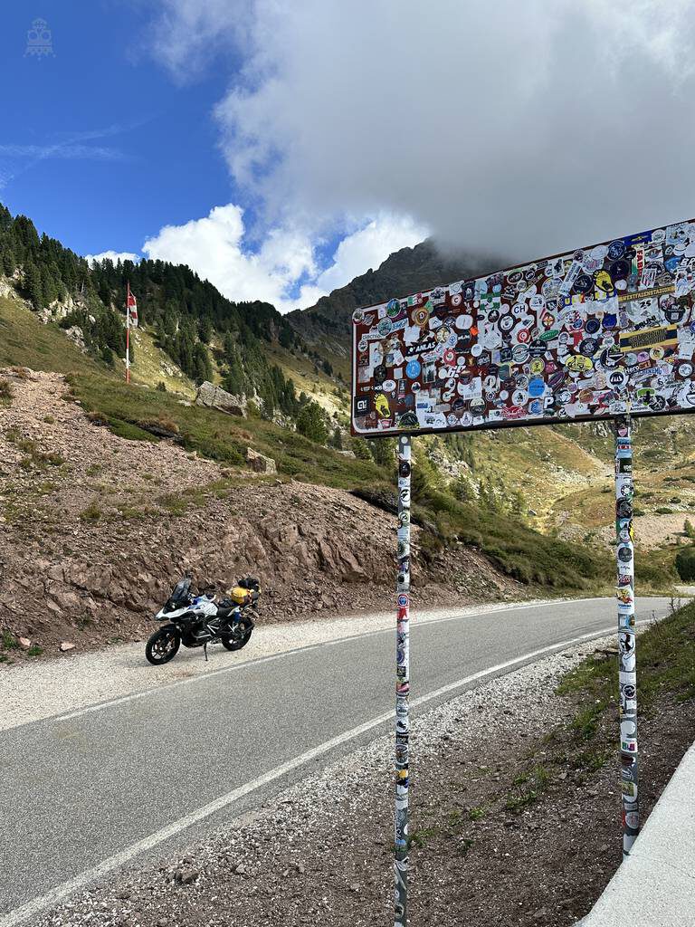
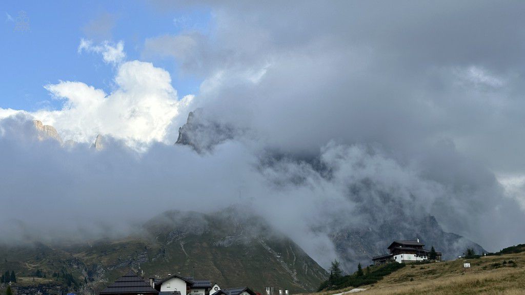
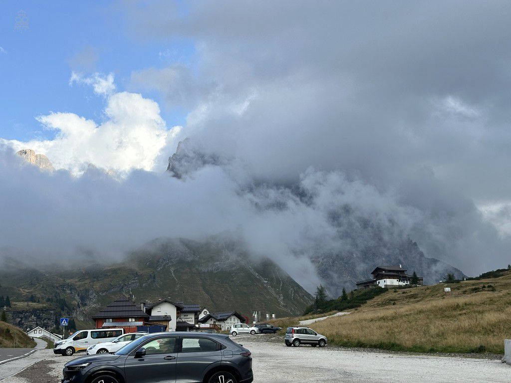
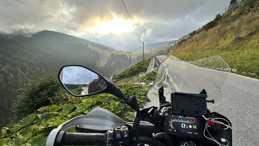
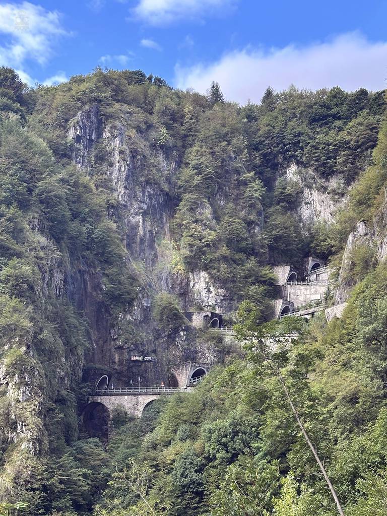
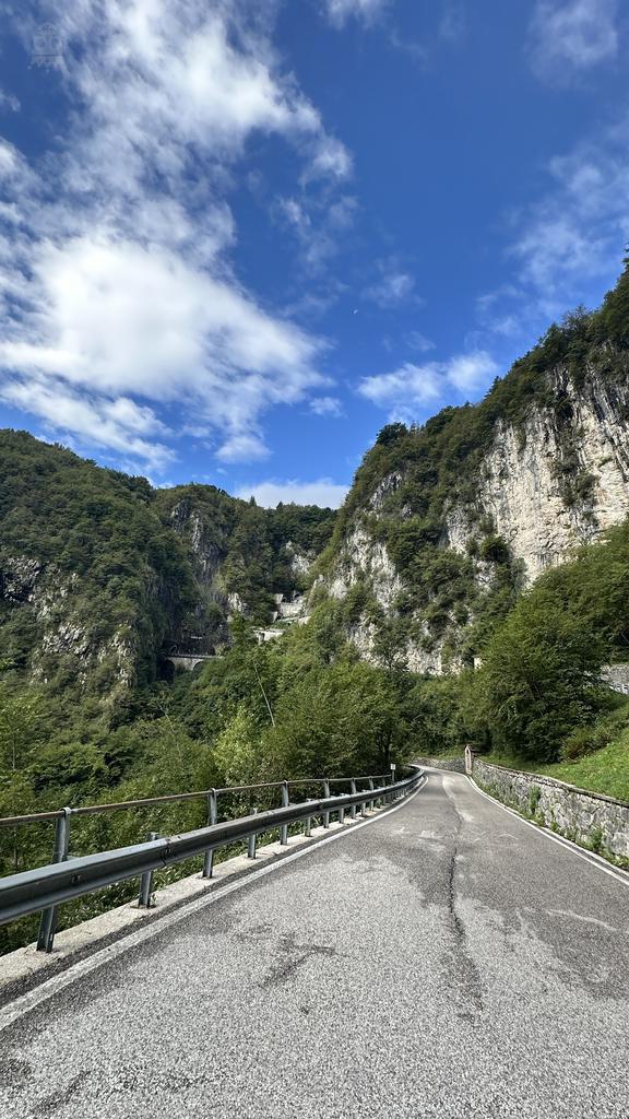
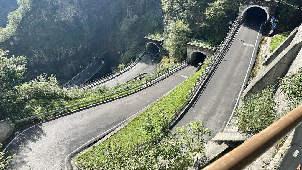
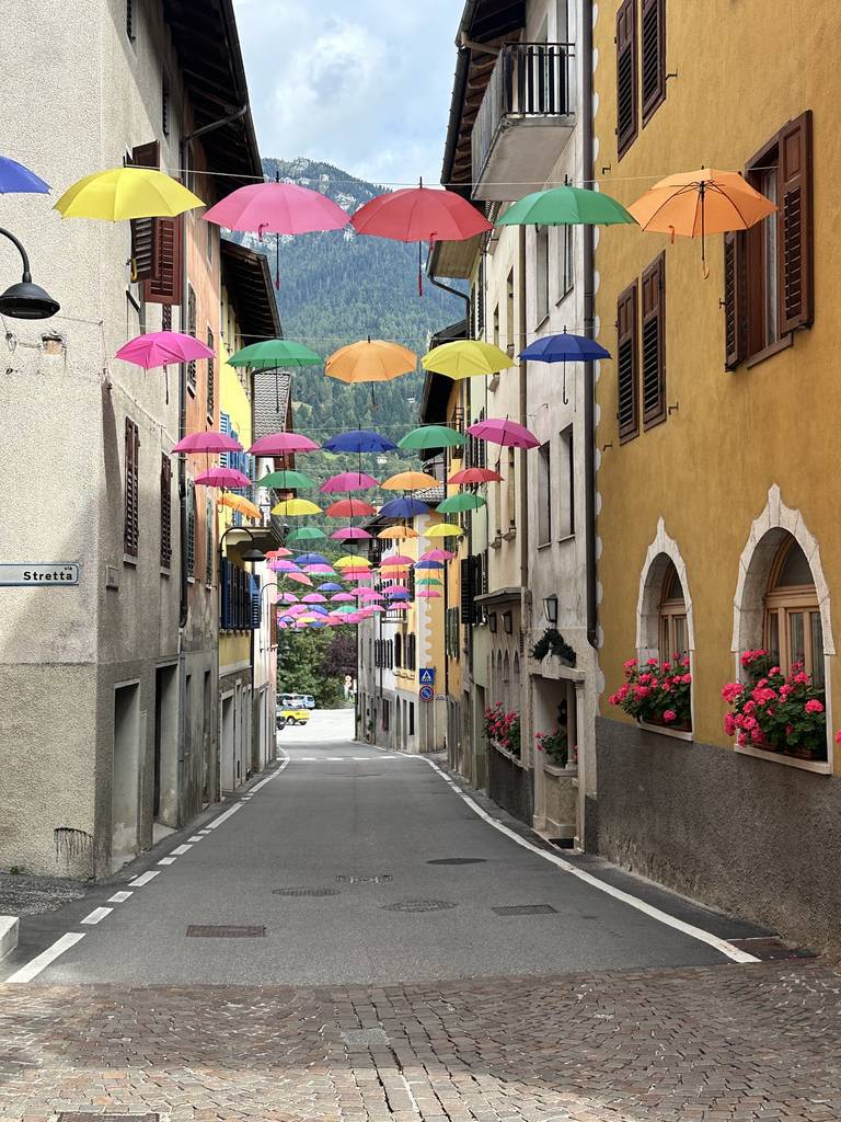
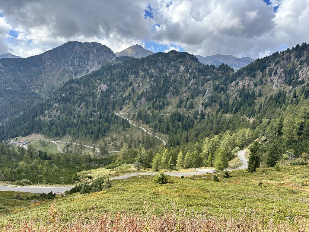
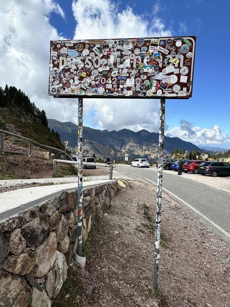
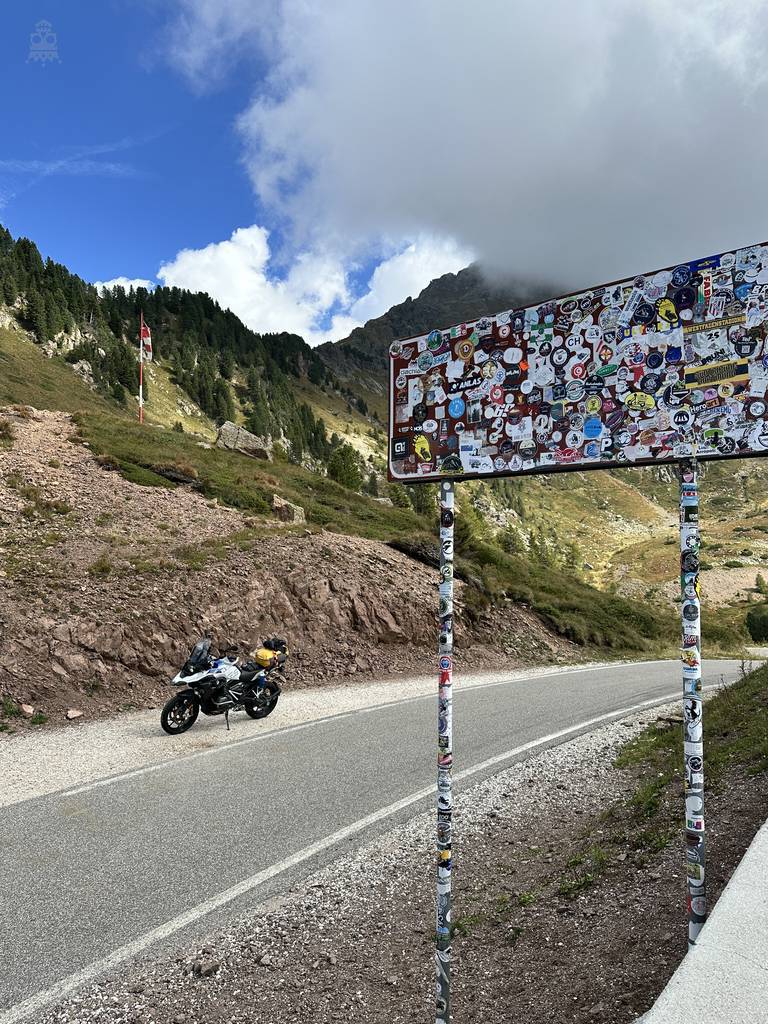
Innsbruck – Lignano – München. 11 Pässe und viele viele Kurven :-)
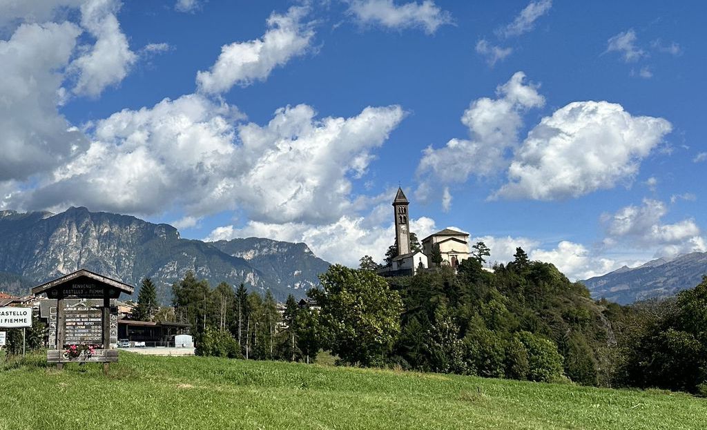
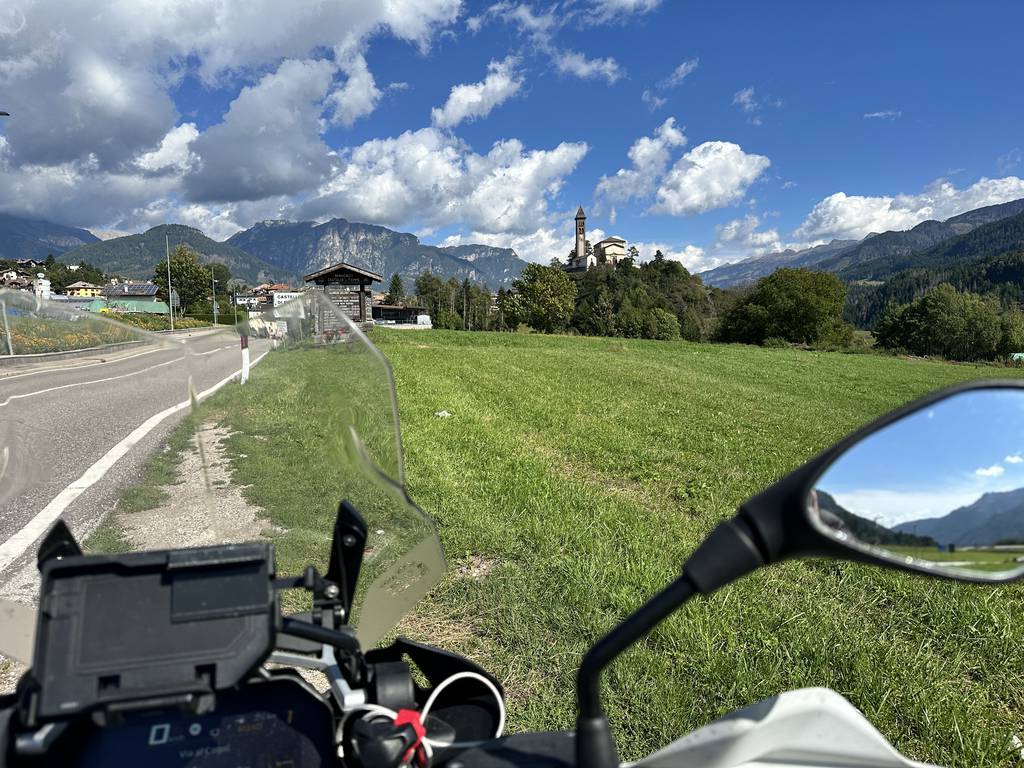
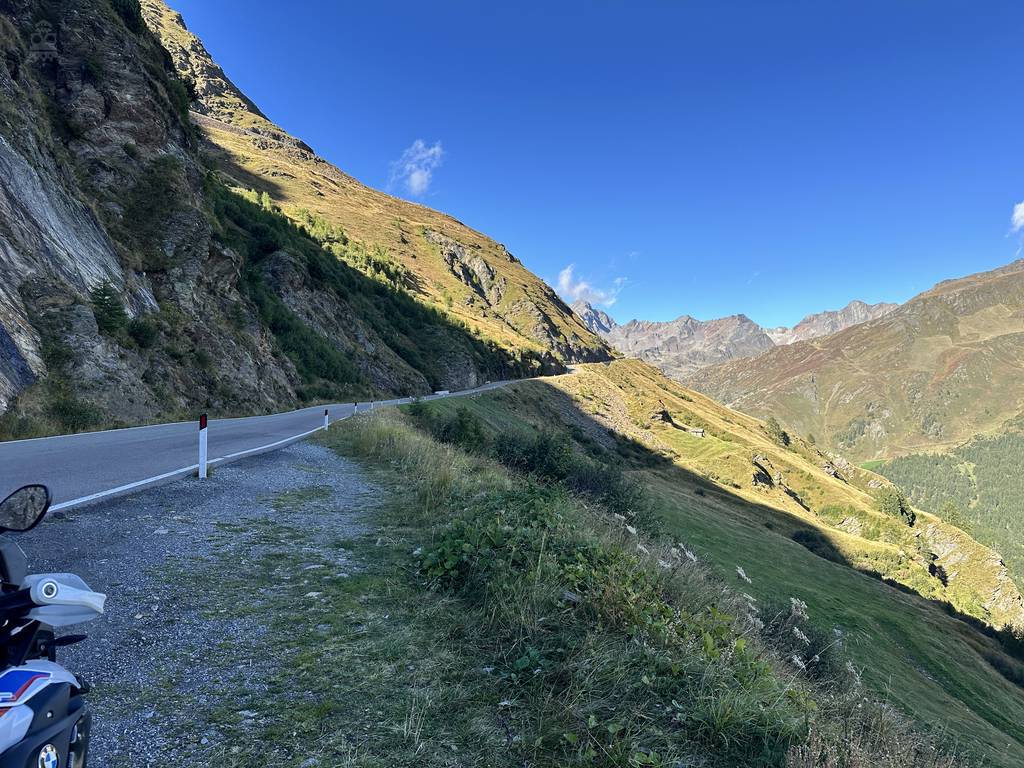
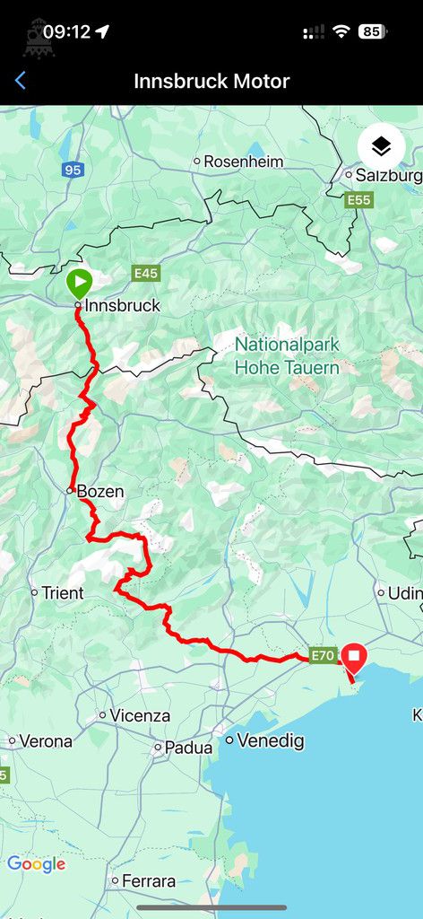
Map of the route “Alpenpässe”: 412.235 m, 5.925 m of climbing and 6.495 m of descent, elevation between -32 m and 2.135 m, time 08:35:26. It starts at 47.26192, 11.39964 and ends at 45.69524, 13.06061 (latitude, longitude).
Map of the route “Alpenpässe”: 600.657 m, 7.734 m of climbing and 7.182 m of descent, elevation between -5 m and 2.401 m, time 11:42:30. It starts at 45.69466, 13.07283 and ends at 48.05307, 11.52121 (latitude, longitude).