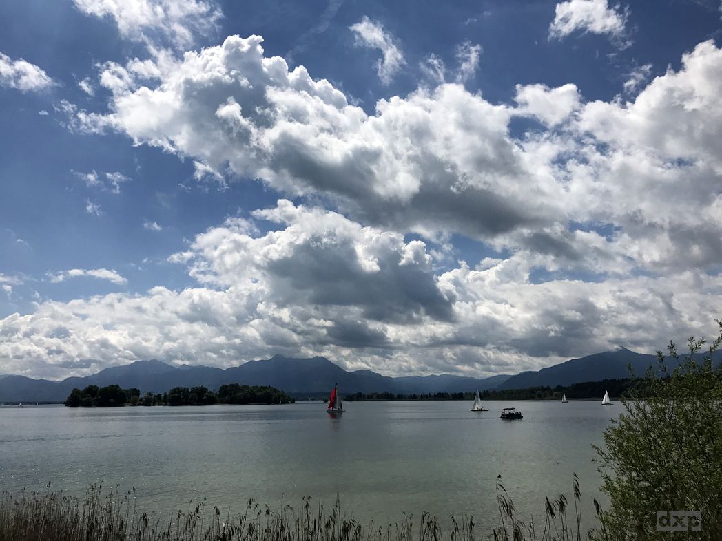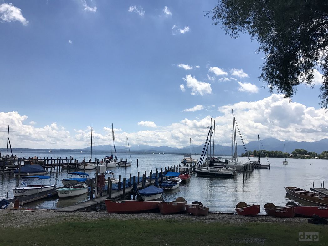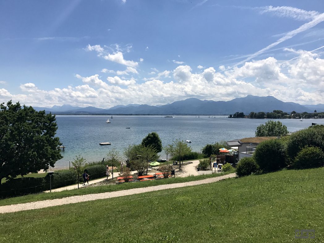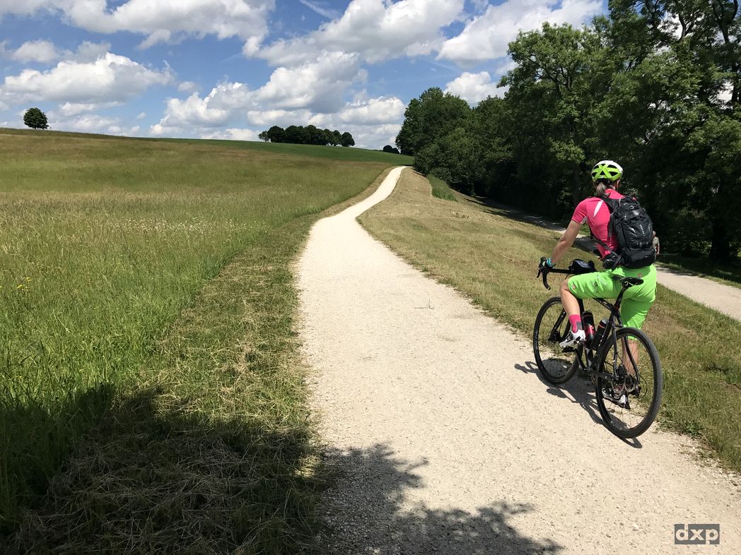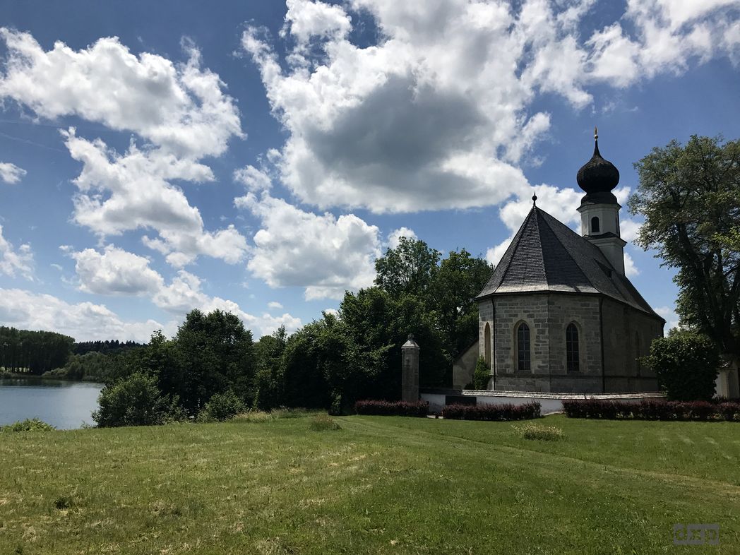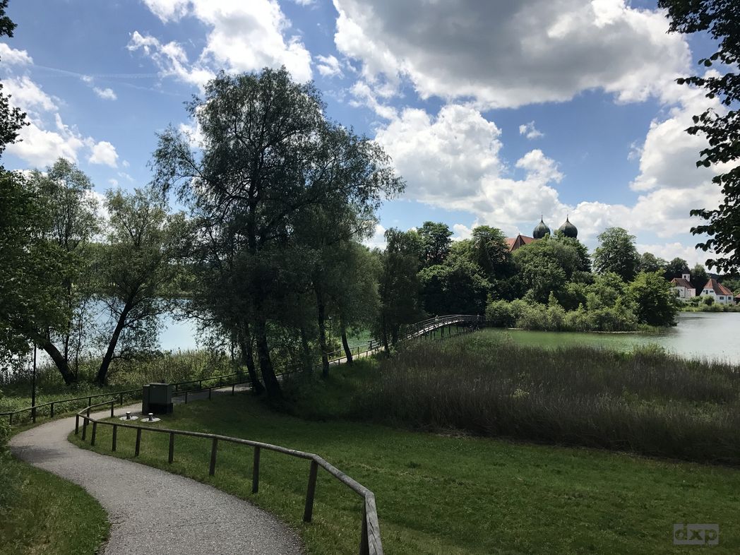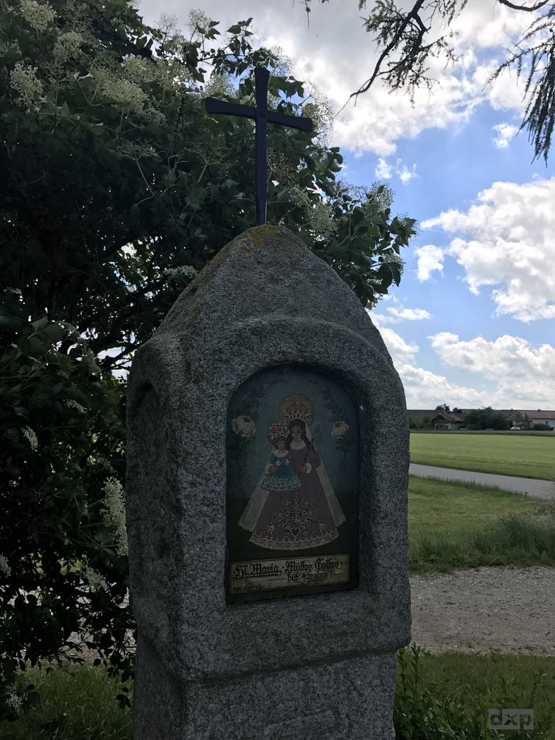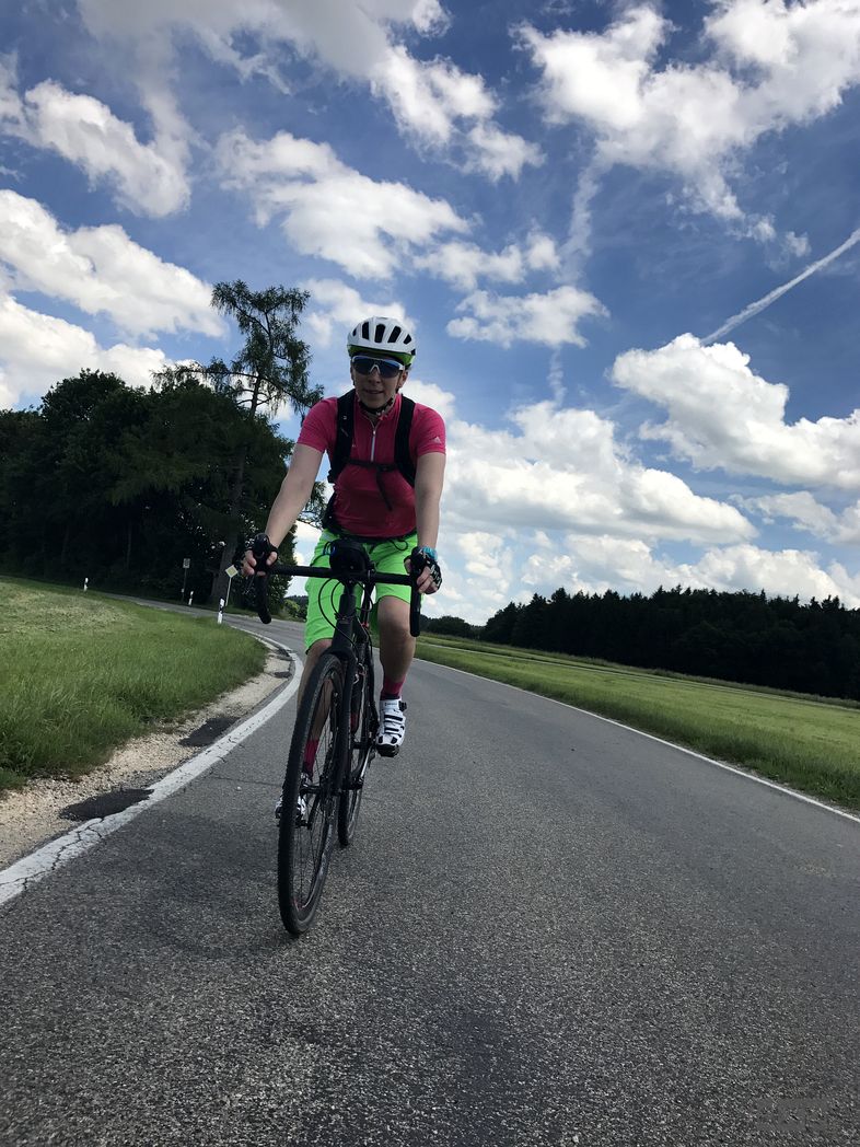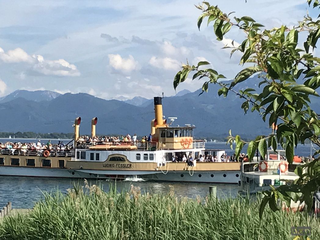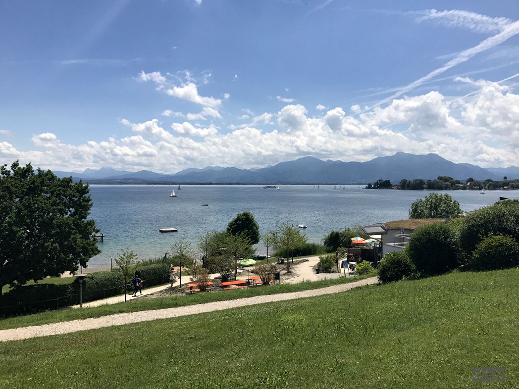
Wunderschöne Runde am Chiemsee.
Map of the route “Radln am Chiemsee”: 49.999 m, 440 m of climbing and 438 m of descent, elevation between 500 m and 545 m, time 05:39:09. It is a loop that starts and ends at 47.87975, 12.38810 (latitude, longitude).
... and some other adventures

Wunderschöne Runde am Chiemsee.
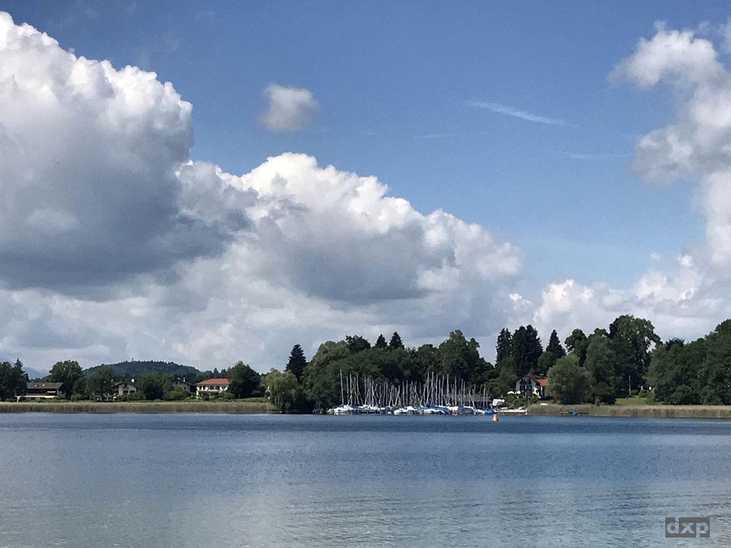
Map of the route “Radln am Chiemsee”: 49.999 m, 440 m of climbing and 438 m of descent, elevation between 500 m and 545 m, time 05:39:09. It is a loop that starts and ends at 47.87975, 12.38810 (latitude, longitude).